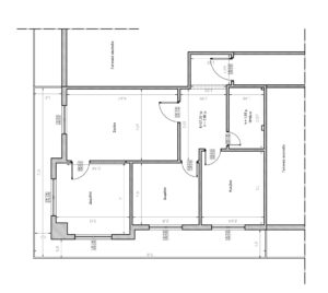
Land surveys
A topographic plan is a comprehensive land survey stating the surface area of the plot, its dimensions, whether it is buildable or not, the square metres that the owner can build, whether there are buildings within the plot, as well as the plot’s exact location. It is therefore the official document delimiting a property. The topographic plan constitutes the basis for ratification of administrative decisions, settlement of unauthorised structures and objections to the cadastral entries, drafting of notarial documents and acts, licensing of photovoltaic systems and, of course, it is required for the issuance of a building permit.
Our company undertakes to prepare land surveys with the help of partners with long experience and technologically advanced measurement equipment.
 Specifically, we undertake:
– Preparation of topographic plans, delimitation and study of the integrity and buildability of plots and land parcels
– Cross-sections and partitioning of plots and land parcels into vertical and horizontal properties,
– Preparation of topographic plans for the issuance of building permits, for contracts, cadastral registration, classification acts (forestry authorities)
– Delimitations, definition of shoreline and beach
– Mapping of buildings and large areas
– Inclusion in the town plan
– Search for lost plots,
– Actuarial and implementing acts
Before preparing the land survey, we provide to the customer the financial offer that states the relevant cost and what it includes.


